Dalwhinnie is only a few miles from the “heart of Scotland”, and is an ideal base to explore Badenoch, Strathspey and wider afield by car, rail, cycle or on foot.
Below you’ll find brief details of places to visit within half an hour’s drive of the village, ranging from a Pictish hill fort to the Royal Zoological Society of Scotland’s Highland Wildlife Park and an internationally-renowned open-air folk museum, all offering great days out.
THE HIGHLAND FOLK MUSEUM
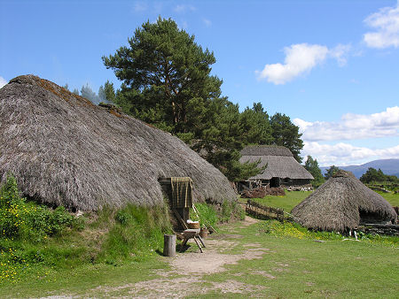
On the outskirts of the village of Newtonmore and less than ten miles to the north of Dalwhinnie, the Highland Folk Museum was Britain’s first open-air museum.
Established in 1932 and set in a one mile long, 80 acre site that’s home to red squirrels and tree creepers, the museum houses a fascinating and steadily growing collection of traditional buildings and their contents, brought from various parts of the Highlands.
The eastern part of the museum is home to Aultlarie Farm and a range of traditional farm buildings and equipment. while at the western end is the recreated township of “Baile Gean”, based on a nearby abandoned township as it would have appeared in 1700. Local actors help to bring Highland history to life, and visitors of all ages can have a fun (and perhaps nostalgic) experience
There are picnic and play areas, a café, and shops on site to cater for all needs.
THE HIGHLAND WILDLIFE PARK
Near the village of Kincraig and around twenty miles to the north of Dalwhinnie is the Highland Wildlife Park, first opened in 1972 and since 1986 administered by the Royal Zoological Society of Scotland, who are also responsible for Edinburgh Zoo.
The park allows visitors to see some of Scotland’s more elusive wildlife in their natural setting, as well as endangered animals from the world’s mountain and tundra regions.
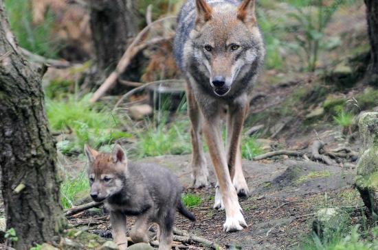
Driving through the main reserve, visitors can spot bison, red deer, yak, reindeer, elk, camel and more before exploring the rest of the park on foot, where you can see everything from Amur tigers to Scottish wildcats, wolves and polar bears.
The Park is open all year round (except Christmas Day), and there are daily feeding times and seasonal events. There’s a café and shop.
WOLFTRAX
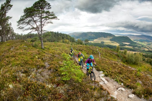
Around ten miles northwest of Dalwhinnie and on the edge of the Cairngorms National Park, Wolftrax is a purpose-built, singletrack mountainbike centre that also offers a range of good walking trails.
There are over twenty miles of purpose-built cycle trails winding through Laggan Forest and the surrounding countryside, giving superb views of the nearby Monadhliath hills.
Working in partnership with Forestry and Land Scotland, local community group Laggan Forest Trust has developed a number of walking trails to explore in the forest. The route to the Dun da Lamh hill fort makes a great walk as well as a cycle ride.
There is a café, open daily from 10am to 5pm.
DUN DA LAMH
Dun da Lamh is a ruined Pictish hill fort around ten miles from Dalwhinnie, set high on a rocky outcrop.
It’s one of the best-preserved hill forts in the Highlands with impressive walls up to 20 feet thick in places, and is a fine viewpoint.
It’s about a 500 metre climb to the fort on good tracks and paths, and from the summit you’ll look down onto Loch Spey and along the Spey Valley.
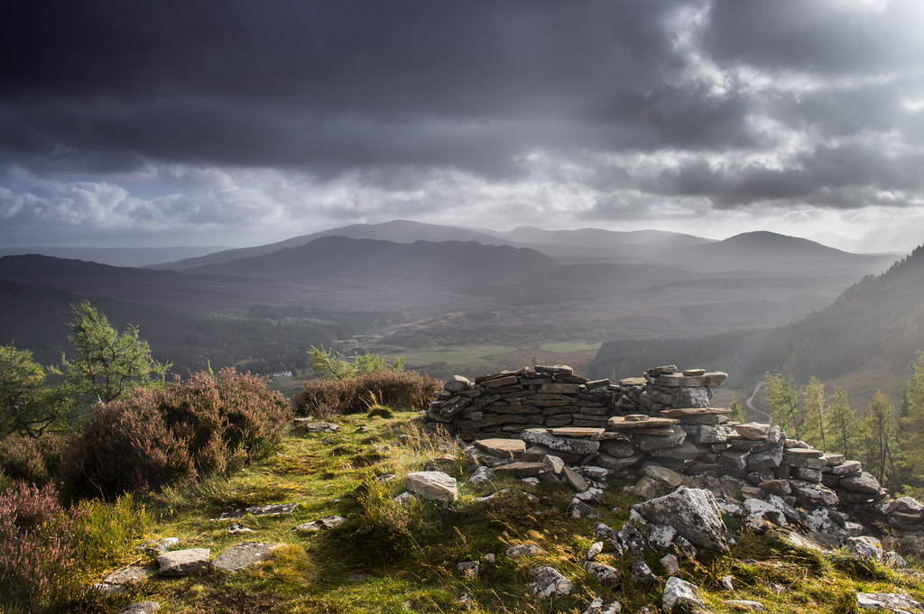
The walk will take around 45 minutes, but the more adventurous can try the Black Wood and Dun da Lamh circuit which takes between 2½ and 4 hours.
THE CENTRE OF SCOTLAND
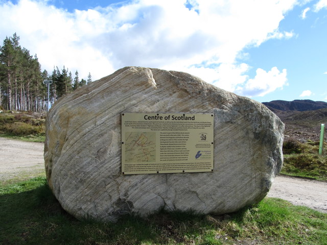
You’ll find the “centre of Scotland” about eight miles to the north of the village and a little over a mile to the west of the A9, along the Glen Truim Road.
The site is marked by a cross etched on a stone in the drystone wall on the north side of the road. You’ll find it a few yards before you reach a triangular forestry road junction (with a local walks waymark board) and about 125 yards before you reach the Macpherson Monument, from where you can enjoy fine views of the upper Spey Valley.
There will always be some debate as to the exact location of the geographical centre of Scotland, due to the complexity of the calculation, the different methods of making the calculation, and whether the surrounding Scottish offshore islands are to be included.
One of the methods used is to calculate the “centroid” of the two-dimensional shape made by the country, the point at which a cardboard cut-out of Scotland could be perfectly balanced on the tip of a pencil.